Summary
| DATE | 11/02/1957 |
| ORIGIN TIME | 15:43:00 UTC |
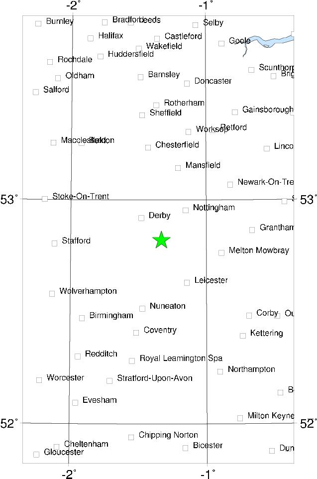
| LOCATION | 52.820 -1.330 |
| DEPTH | 13.0 km |
| MAGNITUDE | 5.3 ML |
| LOCALITY | DERBY |
| DATE | 11/02/1957 |
| ORIGIN TIME | 15:43:00 UTC |
| LOCATION | 52.820 -1.330 |
| DEPTH | 13.0 km |
| MAGNITUDE | 5.3 ML |
| LOCALITY | DERBY |

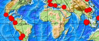
Considering that this was the largest UK post-war earthquake until 1984, and one of the most damaging earthquakes this century, it is curious to see how it has largely slipped from public memory. It was generally felt over the whole of the English Midlands, and was reported from places as far away as Hartlepool, Pwllheli, Norwich and Topsham (near Exeter). Generally speaking, it was not much felt south of Gloucester, and there are no reports known from London.
The epicentre was near Castle Donington, about 10 km SE of Derby. There was widespread damage to chimneys and roofs in the Derby - Nottingham - Loughborough area, although within this area the damage was often localised - for instance, in Derby most of the damage occurred in a part of the older city about 5 sq km in area. A few people were hurt by falling masonry; one boy in Derby suffered a fractured skull. Damage was caused to Blackbrook Reservoir, about 10 km S of the epicentre, and relays were tripped at several power stations in the area.
There was a substantial aftershock at 23h 59m on 12 February , apparently the only aftershock, which generated further damage to buildings weakened by the main shock. This aftershock was felt from Hull to Gloucester and on the E coast of Norfolk, but strangely enough, does not seem to have been recorded instrumentally.
Sources: Neilson et al (1984c), instrumental.